
- The program is 5 courses (15 credits)
- Four of the five classes are offered from 4 p.m. - 7 p.m. on Tuesdays and Wednesdays to provide maximum flexibility for working professionals
- The fifth class is your internship and meets only 5 times during one semester
- Up-to-date computers and software for processing large GIS and Remote Sensing datasets
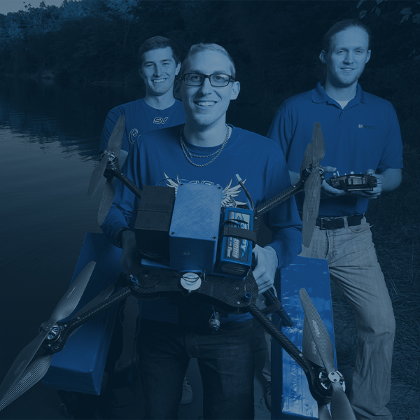
- An imaging Unmanned Aerial Vehicle (drone) is available for research projects and in-class exercises
- Access to a virtual computer is available 24/7 to work on projects outside of class time
- The GIS Certificate is appropriate for individuals of any skill level
Geographic Information Systems (GIS) Certificate
Geographic Information Systems (GIS) Certificate
About
In the Geographic Information Systems (GIS) Certificate program, students learn how to use geographic mapping and imaging software, interpret and analyze geospatial data, and present conclusions to clients for land development projects, resource monitoring and management, and scientific studies. Situated in the heart of the Great Lakes, SVSU’s unique location lends itself to the study of landscapes altered by both human actions and natural processes. Our GIS Certificate ensures students have the skills they need to study, record, understand and evaluate changes in these landscapes through the use of digital technology, so they can help clients make better decisions and develop timely policies regarding the development, use and conservation of different landscapes
SVSU's GIS Certificate is designed to complement a student’s primary field of study or serve as a stand-alone certificate for working professionals who want to acquire GIS skills. The program builds students’ expertise in a range of data driven decision-making, geospatial technology, remote sensing and analysis skills, increasingly sought by a wide range of employers and graduate programs. Students will also complete an approved internship or faculty directed project that drives them to demonstrate their ability to translate classroom learning and applied research into professional practice.
Current SVSU students who are interested in pursuing a GIS Certificate can contact the Office of the Registrar. Working professionals who are not current SVSU students can contact the Office of Admissions. Anyone with questions can also contact geography faculty members Rhett Mohler or Julie Commerford.
Cardinal Points
-
Complete your GIS Certificate in two semesters (15 credits).
-
Achieve a competitive advantage in the workforce by using the most up-to-date tools and techniques available in the field of GIS today.
-
Gain firsthand experience with ArcGIS Pro, ENVI, and Pix4D software to create visual conceptualizations of a variety of geographical data.
-
Available to working professionals utilizing GIS in their line of work or others looking for a career change.
-
Take advantage of internship opportunities with local businesses or organizations.

It was nice to have the class and be able to use it at work at the same time, because I was able to take the skills I was learning and apply them directly to my position. It reinforced what I was learning.
— Chris Jankowski
Bay County Department of Water and Sewer
Increase your GIS skills with the GIS Certificate program at SVSU.

GIS Certificate students like that they get hands-on experience using GIS and Remote Sensing software every week. They finish the certificate ready to do geospatial analyses in their careers!
— Julie Commerford, Ph.D.
Associate Professor of Geography

Career / Internship Opportunities
Bay County Road Commission
Bay County Environmental Affairs and Community Development
Chippewa Nature Center
Saginaw County Road Commission
Saginaw County Mosquito Abatement Commission
Saginaw Basin Land Conservancy
Wade Trim
Bay County Department of Water and Sewer
Bay City State Recreation Area
Central Michigan CISMA
Shiawassee National Wildlife Refuge
YMCA of Saginaw
City of Saginaw
Bay County Mosquito Control
City of Bay City
Bay City Electric Light and Power
Midland County GIS
Saginaw Crime Prevention Council
*We can also tailor the internship to your current employer’s needs.

GIS Certificate Requirements
The program includes a total of 15 credits as listed below (each course is 3 credits). Because each class is offered once per year, students can earn a GIS Certificate in only two semesters.
GEOG 340 – Geographic Information Systems
Offered every fall semester
Skills taught include:
· Data visualization and cartography
· Analyzing vector and raster data
· Digitizing
GEOG 341 – Remote Sensing
Offered every fall semester
Skills taught include:
· Image basics and scale
· Acquiring and displaying imagery
· Imagery processing
· Image classification/change detection
GEOG 440 – Advanced GIS
Offered every winter semester
Skills taught include:
· Geostatistics and Geocoding
· Web Mapping
· Developing new GIS tools
GEOG 441 – Advanced Remote Sensing
Offered every winter semester
Skills taught include:
· Advanced image processing
· Accuracy assessment methods
· Lidar and UAV remote sensing
GEOG 499 – Independent Study/Internship
Offered every winter semester
We can suggest/provide an internship for you, or your internship can be tailored to your employer’s current GIS needs